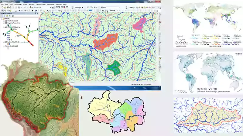
Download Shapefile data for the whole world : River, basin, sub basin and lake

In This tutorial I will show you how to download Shapefile data for the whole world : River, basin, sub basin and lake from HydroSHEDS (Hydrological data and maps based on SHuttle Elevation Derivatives) website.
HydroSHEDS
HydroSHEDS data are freely available in standard GIS formats and form the geospatial framework for a broad range of assessments including hydrological, environmental, conservation, socioeconomic, and human health applications.
Hydrological data and maps based on SHuttle Elevation Derivatives at multiple Scales provides hydrographic information in a consistent and comprehensive format for regional and global-scale applications.
From HydroSHEDS you can download Shapefile and Geodatabases data for any area of the world :
HydroBASINS : watersheds and sub-watersheds / basins and sub basins,
HydroRIVERS : rivers / hydrographic networks.
HydroLAKES : lakes.
HydroSHEDS offers a suite of geo-referenced data sets in raster and vector format, including stream networks, watershed boundaries, drainage directions, and ancillary data layers such as flow accumulations, distances, and river topology information.
HydroSHEDS Citation
The scientific citation for the HydroSHEDS database is :
Lehner, B., Verdin, K., Jarvis, A. (2008): New global hydrography derived from spaceborne elevation data. Eos, Transactions, AGU, 89(10): 93-94.