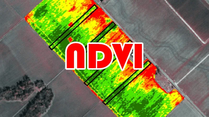
Calculate NDVI from satellite images
NDVI in remote sensing
The normalized difference vegetation index (NDVI) has been one of the foremost commonly used vegetation indices in remote sensing since its introduction within the 1970. With the increased availability of satellite images (Landsat, MODIS, Sentinel), more and more researchers have used NDVI in scientific research.
The normalized difference vegetation index, is constructed from the bands, Red and near infrared (NIR). The normalized vegetation index highlights the difference between the visible band of red and that of near infrared.
The NDVI helps to differentiate vegetation from other types of land cover and determine its overall state. It also allows us to define and visualize vegetated areas on the map as well as to detect abnormal changes in the growth process.
Calculate NDVI
NDVI is calculated by the following equation:
NDVI = (NIR - Red) / (NIR + Red)
NIR – reflection in the near-infrared spectrum, RED – reflection in the red range of the spectrum.
NDVI value ranges between -1 to +1, with higher NDVI values corresponding to areas where the vegetation cover is more dense.