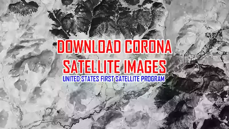
Download CORONA satellite images

The CORONA program was a series of American strategic reconnaissance satellites produced and operated by the Central Intelligence Agency (CIA) Directorate of Science and Technology with substantial assistance from the U.S. Air Force. The CORONA satellites were used for photographic surveillance of the Soviet Union (USSR), China, and other areas beginning in June 1959 and ending in May 1972 (Wikipedia).
Corona was the name of the United States first satellite program. Used for photographic surveillance of the Soviet Union, China and other countries. The first images of the Earth were taken discreetly by American satellites from 1959, then by Soviet satellites from the end of 1960.
The first successful photograph was taken on August 18, 1960 by the KH-1 system. The photographic systems are called Keyhole or KH: KH-1, KH-2, KH-3, KH-4, KH-4A and KH-4B.
The resolution of Corona images varies between 140m (For KH-5: June 1959 to September 1960) and 1.8 m (For KH4B and KH-6: March 1963 - July 1963).
Time period - Name - Resolution
> June 1959 to September 1960 - KH-1 - 7.5 m
> October 1960 to October 1961 - KH-2 - 7.5 m
> August 1961 to January 1962 - KH-3 - 7.5 m
> February 1962 to December 1963 - KH-4 - 7.5 m
> August 1963 to October 1969 - KH-4A - 2.75 m
> September 1967 to May 1972 - KH-4B - 1.8 m
> February 1961 to August 1964 - KH-5 - 140 m
> Mar 1963 to July 1963 - KH-6 - 1.8m