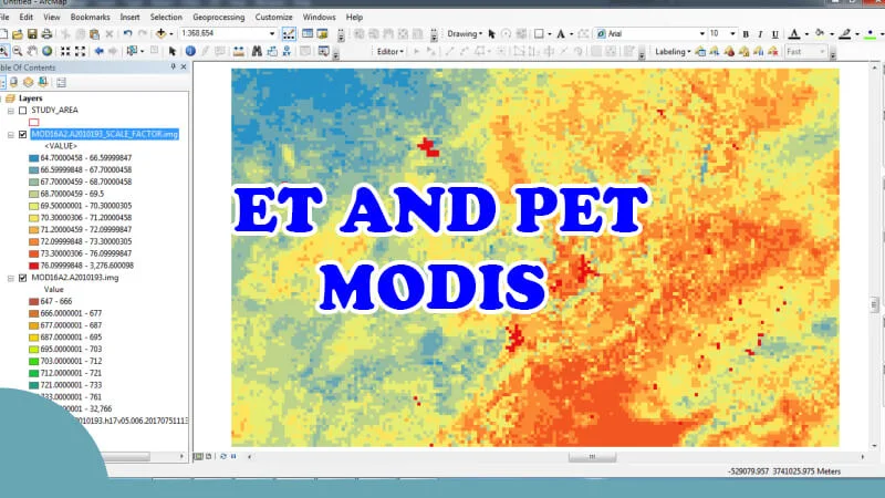
Download and calculate evapotranspiration MODIS

1. Description
MODIS Evapotranspiration is part of NASA/EOS project to estimate global terrestrial evapotranspiration from earth land surface by using satellite remote sensing data.
The MOD16A2 Version 6 Evapotranspiration/Latent Heat Flux product is an 8-day composite dataset produced at 500 meter (m) pixel resolution. The algorithm used for the MOD16 data product collection is based on the logic of the Penman-Monteith equation (Monteith, 1965), which includes inputs of daily meteorological reanalysis data along with Moderate Resolution Imaging Spectroradiometer (MODIS) remotely sensed data products such as vegetation property dynamics, albedo, and land cover (NASA).
Provided in the MOD16A2 product are layers for composited Evapotranspiration (ET), Latent Heat Flux (LE), Potential ET (PET) and Potential LE (PLE) along with a quality control layer. Two low resolution browse images, ET and LE, are also available for each MOD16A2 granule.