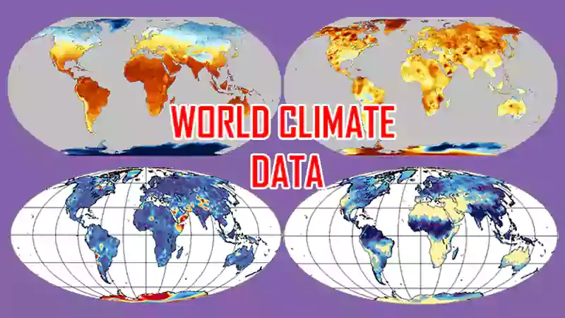
Climate data download | WorldClim

In the context of scientific research, gathering certain types of data poses a significant challenge for researchers, especially climatic data (temperature, precipitation, evapotranspiration, wind, etc.). In multiple countries, obtaining climatic data presents a formidable challenge, with instances where such data is only accessible for a fee.
To overcome the difficulty of collecting climatic data (precipitation, temperature, and evapotranspiration), we can use data estimated by satellites. This type of data is widely used in scientific research. Consequently, a considerable number of articles related to the processing of satellite data have been published in journals and conference proceedings, etc.
Satellite data is available on several servers with free and open access. Satellites designed for precipitation measurements include TRMM (Tropical Rainfall Measuring Mission) and GPM (Global Precipitation Measurement). For temperature, there are satellites like Landsat, Sentinel, MODIS MOD11 (Moderate-resolution imaging spectroradiometer), and for evapotranspiration, MODIS MOD16.
Derived data from satellites helps highlight the variability of precipitation, temperature, and evapotranspiration on annual, monthly, and seasonal scales. However, the use of this type of data requires comparison and validation with data measured by ground stations.
In this article, I will show you a widely used data source in scientific research: WorldClim version 2.1 from 1970 to 2000. WorldClim version 2.1 provides monthly climatic data for average, minimum, and maximum temperature, precipitation, wind speed, solar radiation, and other data. There are also 19 "bioclimatic" variables available. The spatial resolution of WorldClim data varies between 30 seconds (~1 km2) and 10 minutes (~340 km2).
How to download WorldClim climatic data?